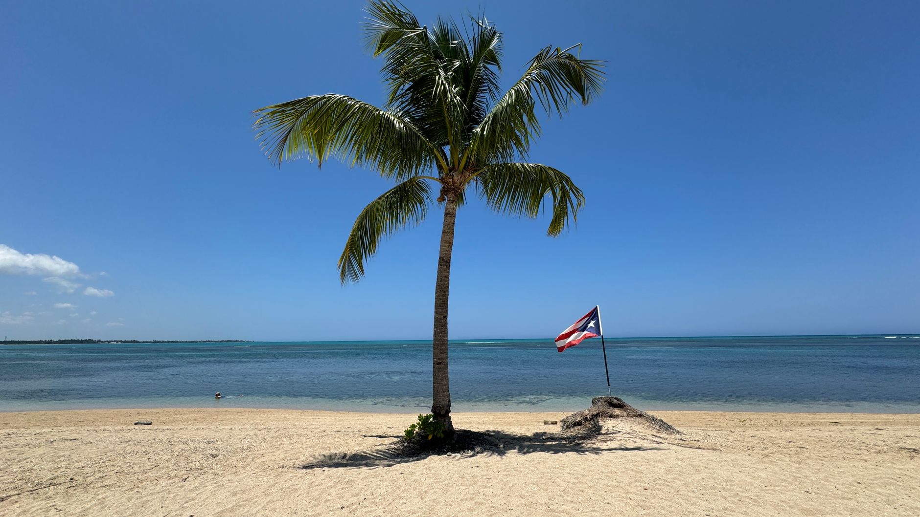
Salinas is a municipality on the south coast of Puerto Rico known, above all, as one of the island's great food destinations: the 'seafood capital'. Its coastal sector, around the El Playita area and the bay, concentrates a long row of restaurants and kiosks where you eat fresh fish and shellfish facing the water, in a lively atmosphere that draws diners from all over Puerto Rico.
But Salinas is also nature: this is where you find the Jobos Bay Nature Reserve, one of the island's most important estuary, mangrove and cay systems, a habitat for birds, manatees and marine life. The coast, dotted with cays and coves, invites you to go out by boat, kayak among the mangroves and enjoy the calm waters of the Caribbean.
This guide covers the essentials of Salinas: its famous seafood restaurant strip, the Jobos Bay reserve, the boat rides around the cays, town life and how to combine it with the other attractions of the south. It's a delicious and quiet stop within the Porta Caribe region, ideal for lovers of good eating and coastal nature.
Salinas owes its name to the salt pans (salinas) that were worked on its coast to produce salt. Historically tied to sugarcane farming (with the nearby Central Aguirre, one of the island's most important sugar complexes) and to fishing, it developed around its bay and its shoreline of cays and mangroves. With the decline of the sugar industry in the 20th century, its coastal zone turned into a recognized seafood dining hub, while Jobos Bay established itself as a nature reserve of great ecological value, part of the United States' national estuarine reserve network. The full history is on our history page.
Read the full history ↓They depart from Orocovis, 29 km away. If you book from this link we earn a commission and you pay no more.
No exact prices: a scale from $ (budget) to $$$$$ (luxury), with 2-3 options per category.
Origins, formation and what the sources say.
The municipality of Salinas, on the south coast of Puerto Rico, owes its name to the salt pans (salinas) that were worked along its shore to produce salt by evaporating seawater. Salt was, for centuries, a valuable resource for preserving food, and its production on the low, sunny coasts of the south gave the area its identity and its name. The dry, hot climate of the island's south favored precisely this use.
Like much of the south coast, the region was inhabited in pre-Hispanic times by the Taíno, who found in its bays, mangroves and calm waters an abundance of marine resources. After Spanish colonization, the area was gradually integrated into the island's economic life through fishing, salt and, later, agriculture.
Salinas was constituted as a municipality in the 19th century, during the territorial reorganization of Puerto Rico. Its development was shaped by its coastal condition and by the resources of its surroundings: the sea, the mangroves of Jobos Bay and the flat lands of the south, suited to large-scale crops.
Like much of the south coast of Puerto Rico, Salinas lived through the 19th and 20th centuries to the rhythm of sugarcane. The flat, sunny lands of the south were ideal for this crop, which became the region's economic engine. The haciendas and, later, the large sugar mills, among them the nearby Central Aguirre, one of the island's most important sugar complexes, in the Jobos Bay area, employed thousands of people and shaped the landscape and society of the area.
The Aguirre complex, with its mill, its employee town and its port facilities on the bay, was a symbol of the sugar era of the south. The cane industry marked the life of Salinas and the neighboring municipalities for generations, with its harvest cycle, its workers and its impact on the local economy and culture. Central Aguirre, founded at the beginning of the 20th century with US capital, became one of the largest sugar producers in Puerto Rico, with its own railway, dock and a town built for its workers, in the style of the 'company towns' of the era.
With the decline of the Puerto Rican sugar industry over the 20th century, accelerated after the Second World War by international competition and the island's economic changes, Salinas, like so many other towns, had to reorient its economy. Fishing, services and, very notably, seafood cuisine came to occupy a central place, while the natural setting of Jobos Bay was recognized and protected for its ecological value.
Jobos Bay, shared between the municipalities of Salinas and Guayama, played a central economic role for centuries: its calm waters served as a natural port for shipping the sugar of Central Aguirre, and its mangroves and cays were worked by generations of local fishermen who found in the estuary a steady source of fish, crabs and shellfish.
Over the course of the 20th century, as the sugar industry declined, awareness grew of the estuary's extraordinary ecological value. Its mangroves, among the best preserved in the Caribbean, filter and protect the coast, its lagoons and seagrass beds are a nursery for countless species, and its waters shelter populations of the threatened Antillean manatee and of water and migratory birds that stop over on their journey across the hemisphere.
That recognition culminated in the designation of Jobos Bay as a National Estuarine Research Reserve, bringing it into a US federal program that protects representative estuaries across the country for scientific research and environmental education. Puerto Rico has very few reserves of this kind, which underscores the exceptional importance of the Jobos estuary.
Over time, Salinas forged the identity that makes it famous throughout Puerto Rico today: that of the seafood capital. Its coastal sector, around the El Playita area and the marina, gradually concentrated restaurants and kiosks specializing in fresh fish and shellfish, drawing on the local fishing tradition, inherited from generations who lived off the waters of Jobos Bay, and on the closeness of the sea.
As domestic weekend tourism took hold in Puerto Rico during the second half of the 20th century, Salinas became one of the favorite destinations for 'going out for seafood', a classic plan that to this day draws diners from San Juan, Ponce and all over the island. Local fishermen supplied directly the family restaurants that sprang up along the coast, in a zero-kilometer model long before the concept became fashionable.
Eating facing the bay, watching the fishing boats come and go, became an experience as associated with Salinas as its nature reserve. The town shows how a centuries-old fishing tradition can turn into an economic engine and a badge of identity for a whole community.
So contemporary Salinas combines two great attractions that at first glance might seem far apart but are in fact deeply connected: a rich seafood offering, heir to its fishing past, and a first-rate protected natural setting, Jobos Bay, which is precisely the source of that marine wealth.
The municipality has managed to turn the decline of its old sugar economy into an opportunity to reinvent itself around what it always had: a generous sea and an exceptional estuary. Today visitors come both for the pleasure of the table and for an interest in nature, two experiences that complete and reinforce each other in a single destination.
From a town of salt and cane to a destination of good food and coastal nature, Salinas holds a place of its own among the towns of southern Puerto Rico, and it's an example of how the historical memory of a territory, its relationship with the sea, the land and its resources, keeps shaping its identity and its economy in the present.