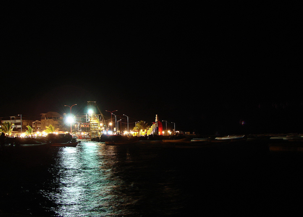
Chichiriviche is a coastal town in Falcón state, at the northern entrance to Morrocoy National Park, and one of the main bases for visiting the famous white-sand, turquoise-water cays of this part of the Venezuelan Caribbean. Boats leave its jetties for idyllic islets such as Cayo Sombrero, Cayo Sal, Cayo Muerto and Cayo Pelón.
The town itself is modest and geared entirely to beach tourism: guesthouses, seafood restaurants, boat agencies and a relaxed seaside-resort feel. Alongside Morrocoy, Chichiriviche also neighbors the Cuare Wildlife Refuge, a mangrove wetland where flamingos, ibis and many other bird species live.
This guide covers the essentials of Chichiriviche: what the boats to the cays cost, which cays to choose, what to see at the Cuare refuge, where to stay and eat, and how to get around this gateway to Morrocoy.
Chichiriviche is an old fishing village on the Falcón coast that grew into the northern gateway to Morrocoy National Park, created in 1974. Its economy shifted from fishing to beach tourism, drawn by the cays and the nearby Cuare Wildlife Refuge. The full story is on our history page.
Read the full history ↓Northwestern Caribbean state: home of Coro, the country's first capital and oldest city (a UNESCO World Heritage Site), land of the German Welsers, of Chirino's uprising and Miranda's flag, with its sand dunes, windswept Paraguaná and the cays of Morrocoy.
Read the history of Falcón →They depart from Puerto Cabello, 56 km away. If you book from this link we earn a commission and you pay no more.
No exact prices: a scale from $ (budget) to $$$$$ (luxury), with 2-3 options per category.
Origins, formation and what the sources say.
It's hard to pronounce the first time, but the name sticks: Chichiriviche, a handful of syllables of Indigenous origin that today, for several generations of Venezuelans, is a synonym for a beach holiday. Before the guesthouses and the boats loaded with tourists, though, this was for centuries a modest fishing village on the coast of Falcón state, in west-central Venezuela. Like so many Caribbean settlements, its life revolved for a long time around the sea and the families who fished its calm water, sheltered from the open swell by the string of cays and mangroves that stretches offshore.
Its name, with its Indigenous ring, and its position facing a string of islets destined it for a tourist role. The transformation came as the white-sand, turquoise-water cays offshore gained value, and above all with the creation of Morrocoy National Park in 1974, which protected that complex of islets, mangroves and reefs.
Since then Chichiriviche has established itself as one of the park's two great gateways (along with Tucacas, to the south), turning wholly to beach tourism. Guesthouses, seafood restaurants, agencies and jetties gradually replaced the original fishing village, though fishing is still part of its identity.
Morrocoy National Park, decreed on 26 May 1974, is one of the most popular beach destinations in Venezuela. It protects an extensive complex of cays, islets, mangroves, coral reefs and shallow turquoise water on the Falcón coast, covering some 32,090 hectares of marine and land areas. Cays such as Sombrero, Sal, Muerto, Pelón, Borracho and Peraza are visited daily by tourists arriving by boat from Chichiriviche and Tucacas.
Beyond its scenic appeal, Morrocoy holds fragile and valuable ecosystems: the mangroves (red, black and buttonwood, among other species) perform essential ecological functions as fish nurseries and bird refuges, and the reefs support diverse marine life. The park has faced serious conservation challenges: in January 1996 a mass die-off wiped out close to 90% of the corals and benthic invertebrates, leaving barely nine of the 26 catalogued coral species standing —on the Playa Caimán reef, live coral cover collapsed from 54.8% in 1994 to 0.8% in 1996. The causes were never fully established: a climatic anomaly that cooled and freshened the water and the discharge of pollutants from urban and agricultural runoff have both been proposed. To that wound were added tourist pressure and later spill incidents, forcing protection and management efforts by Inparques.
For the towns around it, Chichiriviche included, Morrocoy is both their greatest tourist asset and a duty of care. The balance between enjoying its beaches and preserving its ecosystems defines the present and the future of this jewel of the Venezuelan Caribbean.
Adjoining Chichiriviche and closely linked to Morrocoy is the Cuare Wildlife Refuge, a wetland of mangroves, lagoons and inlets of extraordinary value for wildlife, created in 1972. It was one of the first sites in Venezuela recognized under the Ramsar Convention as a wetland of international importance, above all for its role in conserving water birds.
Its water and mangroves concentrate large bird populations, among them pink flamingos, scarlet ibis (an unmistakable intense red), herons, pelicans and numerous migratory and resident species that arrive from North America during the northern winter. The refuge is therefore one of the best birdwatching spots in the country, and a natural complement to visits to the cays.
The area also holds karst formations and caves, such as the Cueva del Indio, associated with remains and rock paintings left by the original peoples of the Falcón coast, adding archaeological interest to the trip. Cuare represents the region's other face: wetlands and biodiversity, complementing the sun-and-sand tourism of the cays.
From the second half of the 20th century, and rapidly from the 1980s and 1990s, beach tourism transformed the character of Chichiriviche completely. Better roads connecting the Falcón coast with Caracas and Valencia, plus the growing fame of the Morrocoy cays —promoted as one of the country's best beach destinations— drew a steady flow of Venezuelan visitors, especially over holidays and long weekends.
That influx produced a local economy based almost entirely on tourist services: family guesthouses, seafood restaurants, boat agencies and shops geared to weekend travelers. The boatmen of Chichiriviche, many descended from the original fishing families, turned their boats and their knowledge of the sea toward carrying tourists to the cays, an activity that today supports much of the town.
The growth of tourism also brought challenges: pressure on the mangrove and reef ecosystems, the need to manage visitor numbers per cay and dependence on a seasonal activity sensitive to the country's economic situation. Even so, Chichiriviche and its cays remain, for generations of Venezuelans, the beach holiday par excellence.
Long before Chichiriviche was a beach resort, this coast was already inhabited. In the limestone hills around the Cuare Refuge open caves and rock shelters where the original peoples of the Falcón coast left their mark: the most famous is the Cueva del Indio, whose walls preserve pictographs and petroglyphs —painted and carved figures— attributed to those pre-Columbian groups. For today's visitor, stepping into that dim grotto after a morning of sun and mangroves is a reminder that tourism is only the latest chapter in a far longer story.
When the Europeans arrived, the Falcón region was one of the first on the continent to be colonized: nearby Santa Ana de Coro, founded in 1527, became the capital of the province of Venezuela. The coastal strip where Chichiriviche now stands, however, remained on the margins of the great colonial centers, given over to fishing and modest coastal trade. That relative isolation, paradoxically, helped its cays and wetlands reach the 20th century in reasonable shape, at which point they became its greatest treasure.
The place name itself is a trace of that Indigenous past. Although there's no consensus on its exact meaning, it is associated with the languages of the peoples who lived on this coast —the Caquetío among them— and with the coastal geography. Whatever its translation, Chichiriviche keeps in its sonorous, difficult name the memory of those who lived here centuries before the first boatload of tourists arrived.