There are few places on Earth where you can point a finger at the birth of a continental river. Al-Mogran is one of them: here, in the very centre of Sudan's capital, the Blue Nile and the White Nile meet, and from that point on the river is simply called the Nile. Everything that comes after — the six Nubian cataracts, Aswan, Luxor, Cairo, the delta, the Mediterranean — starts at this corner of water.
The two rivers that meet could not be more different. The Blue Nile arrives from Ethiopia's Lake Tana, short, torrential and loaded with volcanic silt; it is the one that causes the summer flood and that for millennia carried the fertile soil that made Egyptian civilisation possible. The White Nile comes from much further away, from the African Great Lakes, and arrives slow and steady after losing half its water to evaporation in the Sudd marshes. During the flood, the difference in colour between the two currents is visible to the naked eye: they travel side by side, without mixing, for a good stretch.
This entry is not a travel suggestion. The confluence is in the heart of the Khartoum metropolitan area, the epicentre of the civil war that broke out in April 2023, and all foreign ministries advise against any travel to Sudan. It appears here for what it is — one of the most significant geographical features on the planet — with honest information about its current state.
The confluence of the two Niles is Khartoum's reason for being: the army of Muhammad Ali of Egypt set up a military camp there in 1821 precisely because whoever controls the Mogran controls navigation on both rivers and the caravan routes that cross them. The city's name is usually explained by the Arabic “al-jurtum”, the trunk, after the elongated tongue of land between the two channels. Long before that, the geography of the Nile had shaped the Nubian kingdoms of Kerma, Napata and Meroe downstream, and in the 19th century the European search for the sources of the White Nile made Khartoum the starting base for famous expeditions. In the 20th century, the sharing of the Nile's waters between Sudan, Egypt and the basin countries — and more recently the Grand Ethiopian Renaissance Dam on the Blue Nile — turned this confluence into a nerve centre of Africa's water geopolitics.
Read the full history ↓Where the Blue Nile and the White Nile become one: a capital founded by an invading army, the Mahdi's Omdurman and the exact spot where the world's longest river is born.
Read the history of Khartoum and the confluence of the Nile →No exact prices: a scale from $ (budget) to $$$$$ (luxury), with 2-3 options per category.
Origins, formation and what the sources say.
The Nile we know today is geologically young. For much of the Tertiary, north-east Africa was drained by separate river systems that were largely cut off from one another: closed basins in what is now Sudan, a river flowing from Middle Egypt down to the Mediterranean, and independent lake systems in East Africa. These pieces joined up in stages, as the East African Rift formed and the Ethiopian and Nubian shields were uplifted.
The Blue Nile is a direct child of Ethiopian volcanism. The Ethiopian highlands rose after a huge outpouring of basalt some 30 million years ago, and the river cut down into that volcanic rock to form the spectacular Blue Nile Gorge. That rock explains the river's character: a steep gradient, a torrential regime and a load of volcanic silt very rich in nutrients. For thousands of years, the annual flood carried that silt down and fertilised the Egyptian valley.
The White Nile comes from a different world: the great tectonic lakes of the Rift (Victoria, Albert, Edward) and the headwaters in Rwanda and Burundi. It joined the northern Nile system fairly late. Lake Victoria began overflowing northwards, and the equatorial basins merged with the Sudanese basin, during the Quaternary. On its way north the river crosses the Sudd, one of the largest wetlands on the planet. There it splits into channels, slows almost to a standstill and loses a huge share of its flow to evaporation.
The point where the two rivers meet, at the latitude of Khartoum, is therefore where two geological histories come together: Ethiopian volcanism and the lakes of the Rift. That is why their waters arrive with such different properties, and why you can see the two currents meeting with the naked eye.
The Blue Nile runs for about 1,450 kilometres from Lake Tana, in the Ethiopian highlands, to Khartoum. It is a mountain river: steep, fast-flowing and entirely seasonal, driven by the Ethiopian monsoon. Between July and September its flow rises dramatically and it carries millions of tonnes of fine volcanic sediment. That silt is why the Nile valley in Egypt was one of the most productive farmlands in the world for thousands of years, and why the pharaonic calendar revolved around the annual flood.
The White Nile works the other way round. It arrives from the Great Lakes with a fairly modest flow that stays remarkably steady, because the lakes act as huge regulators and the Sudd smooths out any peak. The river is estimated to lose a very high share of its water in those wetlands through evaporation and transpiration. In hydrological terms, the Sudd is a giant sink. What comes out is a slow river carrying fine particles in suspension, which give it its pale, milky look, and its flow barely changes through the year.
When the two meet, the result is a river with two engines. In the flood season, the Blue Nile supplies the overwhelming majority of the water and sediment heading down to Egypt. In the dry season, the White Nile keeps the river flowing and stops it from running dry. Without this balance, the Nile could not have supported unbroken civilisations for five thousand years.
The colours in the names are not literal. The most widely accepted explanation is the sediment: the dark silt of the Blue Nile against the pale particles of the White Nile. There are also Arabic linguistic traditions in which colour words could indicate direction or character, which may add another layer to the names.
The Nile corridor shaped Sudan's history long before Khartoum existed. Downstream of the confluence, the great Nubian centres of power followed one another. Kerma was the capital of the first great kingdom of Nubia some four thousand years ago. From Napata, at the foot of Jebel Barkal, the Kushite pharaohs of the 25th Dynasty ruled Egypt in the 8th century BC. Meroe was the southern capital of the Kingdom of Kush from around 591 BC to the 4th century AD. It sat in a strategic spot between the fifth and sixth cataracts, with access to summer rains, iron ore and the Red Sea routes.
Up the Blue Nile, meanwhile, grew the world of the Funj Sultanate of Sennar. Founded in 1504, it brought Islam to much of the middle Nile and unified it for three centuries. Up the White Nile lay the south, with its herding societies and marshes, a world the north barely reached.
The confluence was the hinge between these three worlds. In 1821, when the army of Muhammad Ali of Egypt conquered Sudan, it pitched camp right there, and in 1830 the administration moved the capital to the spot. Whoever controls the Mogran controls navigation on both rivers and the crossing of the caravans. The city's name is usually traced to the Arabic “al-khurtum”, the trunk, after the long, curved strip of land between the two rivers.
In the 19th century, Khartoum was also the starting point for European expeditions searching for the sources of the White Nile, one of the great geographical puzzles of the age. Steamers left its landing stages to head south up the river. Those voyages mixed exploration, the ivory trade and the slave trade, and they opened the interior of the continent to colonial rule.
Right at the tip of the confluence lies an island: Tuti, some eight square kilometres of vegetable plots, palm groves and low houses wedged between the three cities of the capital. Over generations its community built its own way of facing the Nile floods, with residents watching the dykes together and sharing out the work, and it became famous for this during the great floods. Until 2008 the only way across was by boat. That year a suspension bridge opened, linking the island to Khartoum and changing daily life there.
Next to the island, on the inner corner of the confluence, is what remains of the Sunt Forest Reserve (Al-Sunut). This riverside acacia forest and wetland covers several hundred hectares. It is one of the few protected natural areas inside a metropolitan area of millions of people, and a refuge for waterbirds and migratory birds on the Nile corridor, a major flyway between Eurasia and Africa. Even before the war, it was under heavy pressure from urban development.
The Mogran's strip of land was also the setting for an ambition that came to nothing. In the mid-2000s, at the height of Sudan's oil boom, the Al-Mogran Development Project was announced: a business district of towers, hotels and offices to be built on the confluence with Gulf money, billed as Khartoum's leap into modernity. Work went ahead only in part and the project became one of the country's great unfinished building sites, a symbol of a promised transformation that never fully arrived.
Forty kilometres upstream on the White Nile, the Jebel Aulia Dam, built by the British administration in the 1930s, completes the area's waterworks. It is a reminder that sharing the Nile's waters between Sudan and Egypt is an issue with a century of treaties, agreements and tensions behind it.
The Nile is shared by eleven countries. For decades it was governed by agreements from the colonial era that gave Egypt and Sudan almost all of the usable flow. The upstream countries (Ethiopia, Uganda, Tanzania, Kenya, Rwanda, Burundi, the Democratic Republic of the Congo and South Sudan) challenged that split. Since the early 21st century, negotiations over Nile water have been one of the most sensitive diplomatic issues in Africa.
The flashpoint is the Blue Nile. The Grand Ethiopian Renaissance Dam, built near the border with Sudan, regulates the river that reaches this confluence and completely changes its seasonal behaviour. For Sudan the picture is mixed. Regulation reduces destructive floods and makes irrigation and hydropower more reliable, but it also hands Addis Ababa control over the swings of a river that Sudan's farming depends on. Egypt, further downstream, sees the issue as a matter of national security.
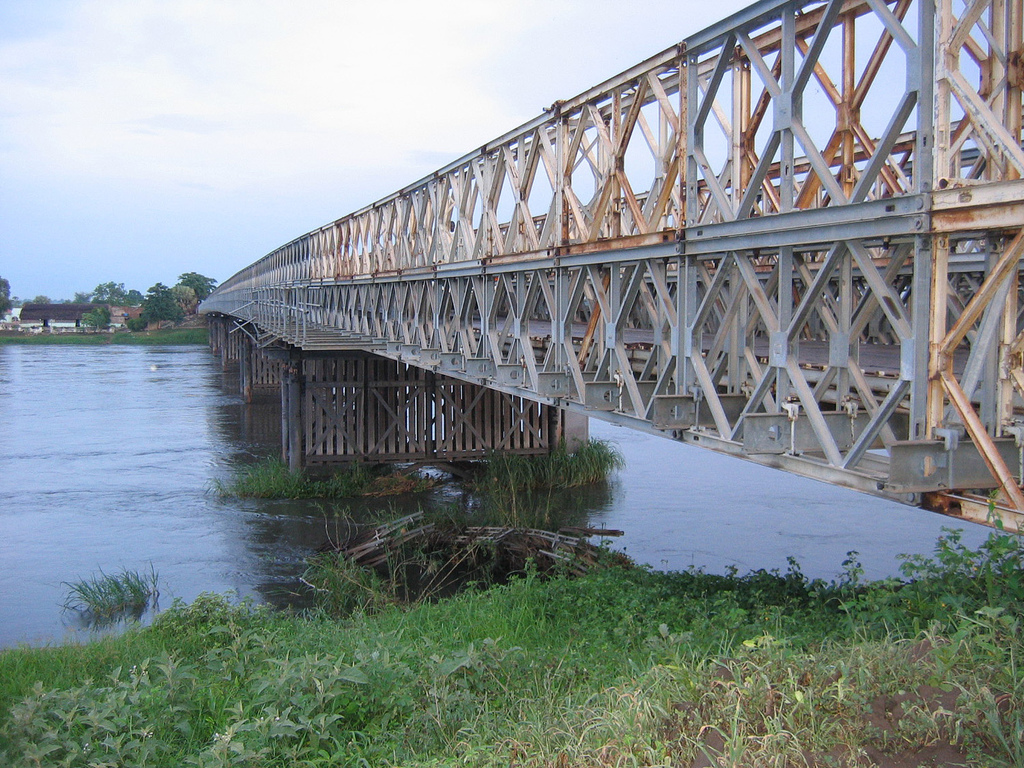
On top of all this, Sudan has been at civil war since April 2023. The confluence ended up at the centre of the fighting in the capital. The bridges that link Khartoum, Bahri and Omdurman across the two rivers became strategic targets and front lines, and whoever held them shaped the course of the urban war. Tuti Island was caught between the two sides. The Mogran's riverside, with its government buildings and promenades, was badly damaged.
The army declared Khartoum state “completely free” of the Rapid Support Forces on 20 May 2025, and the government returned to the capital in January 2026. But the war goes on in Kordofan, Darfur and Blue Nile state, and every foreign ministry still advises against all travel to Sudan. The two Niles still meet every day, as they have for thousands of years, at the heart of a city that has not yet fully come out of the war.